MAP STANDARD
The practical site plan with real measurements
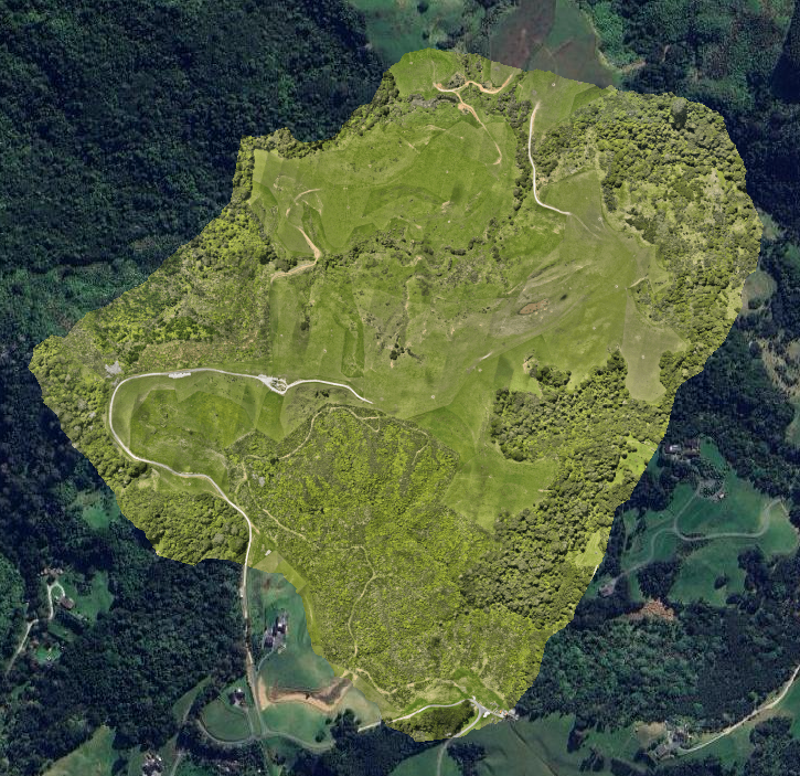
Map Standard takes everything from Map Basic — and adds the power of measurement, annotations and feature mapping.
You still get the high-resolution aerial map… but now you also get a properly measured site plan that helps you make confident decisions on layout, design and planning.
This isn’t just a pretty map.
This is a usable working document.
What makes Map Standard valuable?
You get numbers you can trust, not estimates
Counts, areas and distances can be exported to CAD/GIS or shared with consultants
Great for cost estimating, fencing planning, subdivision concept layouts, earthworks estimates, and more
Ideal middle tier before moving into technical engineering analysis
The bottom line:
Map Standard gives you a professional site plan with measurements — not just imagery.
If you need to actually measure things, plan things, or put numbers on decisions, this is the package that makes sense.
Ideal for:
Farmers needing measured paddock areas
Contractors who need distances and area breakdowns for pricing
Developers preparing concepts or feasibility layouts
Designers and planners who need a base plan they can draw on top of
Included deliverables:
Georeferenced orthomosaic map (GeoTIFF)
Annotated site plan (PDF + shareable image)
Measurements table (areas, lengths etc.)
Basic mapping of features (ex: fences, yards, buildings, tracks)
Cloud delivery with downloadable files