
Drone and Mapping Services for Iwi and Māori Land
What to Expect:
We provide drone surveying and GIS mapping services that support Iwi, hapū, and Māori land trusts in understanding, managing, and protecting whenua. Our approach combines licensed drone operations with advanced spatial analysis to deliver clear, accurate information that supports planning, development, and kaitiakitanga.
Most projects are completed within three working days, providing timely information while respecting the importance of informed decision-making.
Why Drone and GIS Mapping Supports Whenua Management:
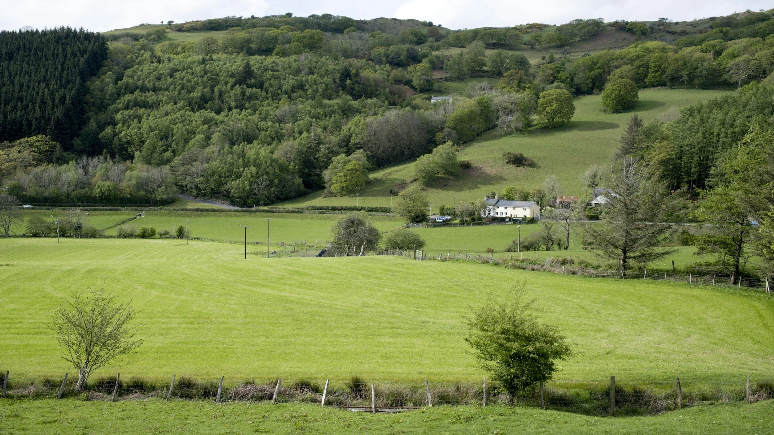
Effective management of whenua requires a clear understanding of land, water, and natural processes. Drone mapping provides a detailed, whole-of-site view that supports both cultural and practical outcomes.
-
We create detailed maps that show land shape, elevation, and slope to support informed planning and whenua management. This helps identify suitable areas for development, protection, and long term use while respecting natural landform and site constraints.
-
We analyse how water moves across the whenua to identify waterways, overland flow paths, and catchment areas. This supports protection of sensitive environments, improves water management, and informs development and restoration planning.
-
Accurate mapping supports the careful planning of access tracks, service routes, and infrastructure locations. Understanding slope and ground levels helps ensure practical access while minimising disturbance to whenua and surrounding environments.
-
By mapping slopes, drainage, and runoff patterns, we help identify areas vulnerable to erosion or environmental impact. This information supports targeted protection measures, restoration planning, and long term care of the whenua.
-
We provide clear spatial information to support planning, consent applications, and technical reporting. Accurate maps and analysis help Iwi organisations communicate effectively with consultants, councils, and stakeholders, reducing uncertainty and delays.
Reliable spatial data supports decisions that protect whenua while enabling sustainable development.
Simple and Efficient Workflow:
-
We begin by understanding kaupapa, project goals, and the intended use of the information. Engagement is approached respectfully and collaboratively.
-
We carry out the drone survey safely, legally, and with care for the whenua. High-resolution imagery and terrain data are collected across the agreed areas.
-
All data is processed in the office and checked for accuracy, completeness, and consistency before analysis begins.
-
Spatial analysis and mapping are tailored to project needs, whether for planning, environmental assessment, or development support.
Farmer Focused Deliverables:
Depending on project needs, post-processing can include:
Whenua maps and site plans
Slope and land capability mapping
Catchment and overland flow analysis
Flood-prone area identification
Environmental and surface water mapping
Maps to support planning, consents, and reporting
Custom GIS outputs aligned with Iwi and stakeholder needs
All outputs are provided in clear formats suitable for governance, technical teams, and external advisors.
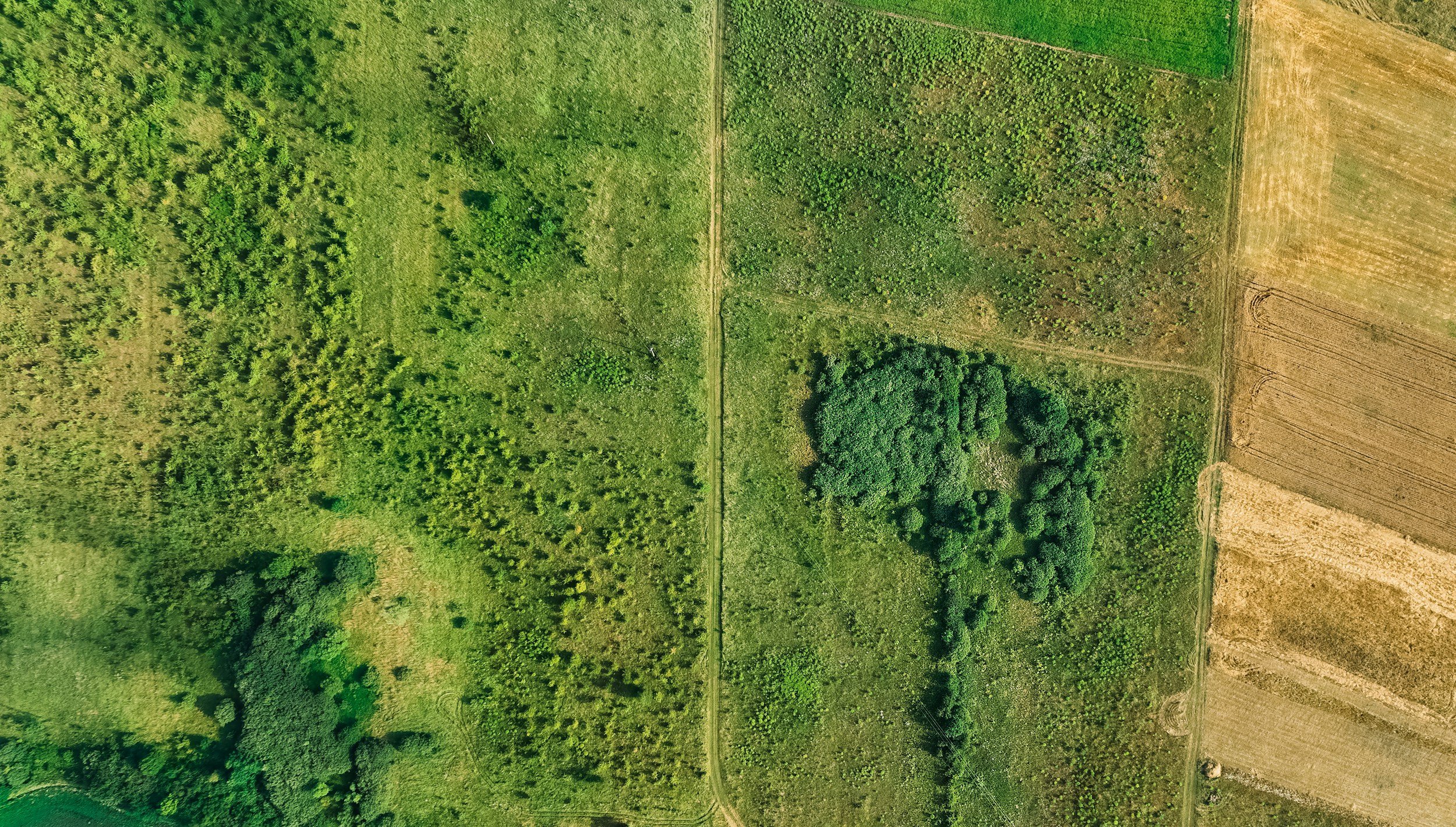
Examples, Deliverables, and Downloads
Basic Farm Map:
(150 Hectare Block)
Farm Layout:
(85 Hectare Block)
Slope Map:
Areas in red have a slope over 25 Degrees
Efficient Delivery With Care and Accuracy
We work efficiently while maintaining a high standard of care and accuracy. Most projects are delivered within three working days, helping Iwi organisations move forward with confidence and clarity.
Why Work With Us:
Licensed and experienced drone operators
Strong understanding of rural land and terrain
Clear, practical maps that are easy to use
Respectful, collaborative approach
Services tailored to Iwi and Māori land priorities
Our services are designed to support informed decision-making, protect whenua, and enable sustainable outcomes for current and future generations.