
High-accuracy site mapping, delivered in days, not weeks.
Why Choose Us:
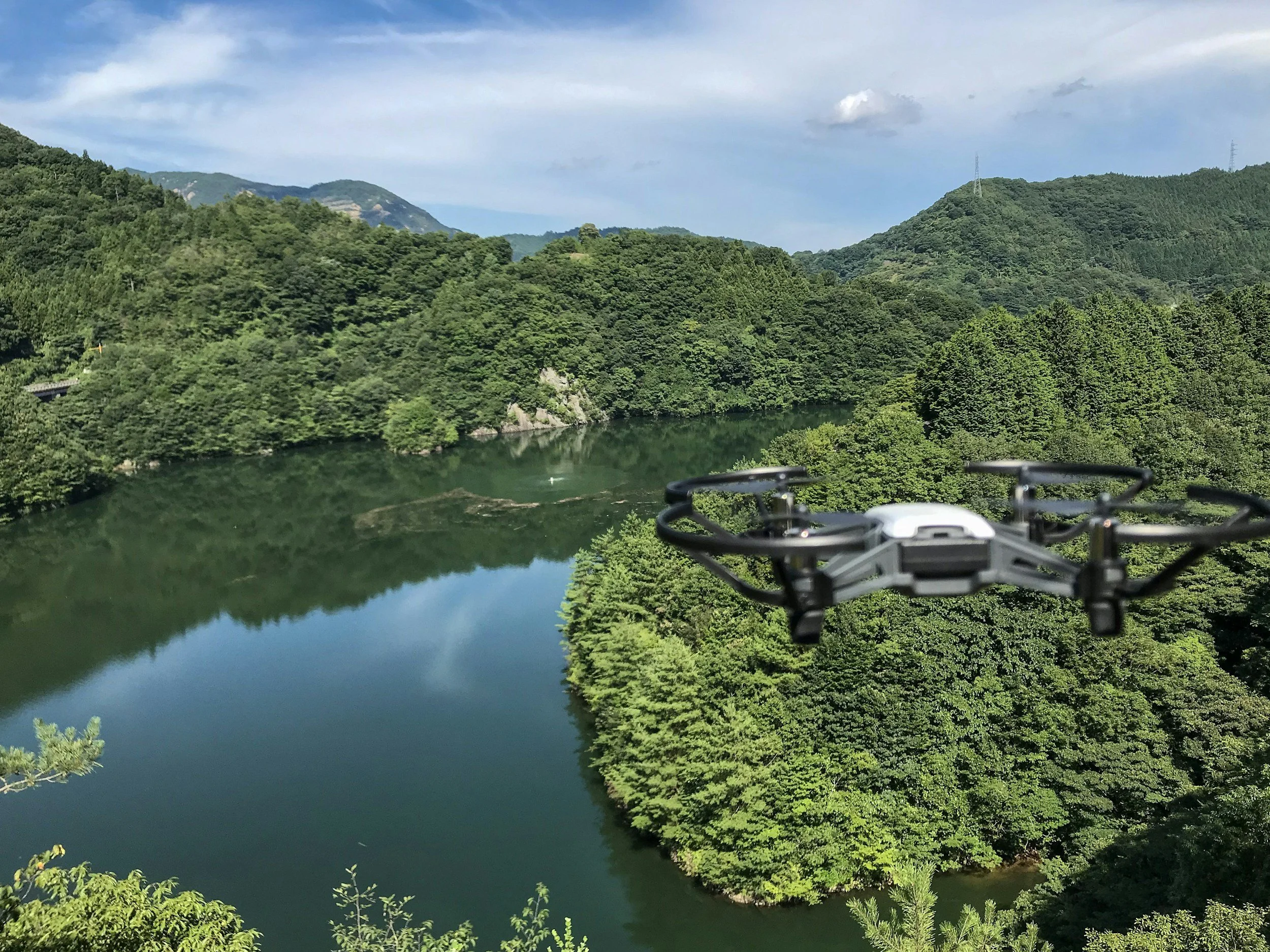
Most drone companies simply provide aerial photos. At Map Masters, we go further by turning drone data into accurate maps and practical information that can actually be used for planning and decision-making.
Our surveys provide clear, reliable site data such as contour maps, terrain models, and measurements. This helps engineers design with confidence and gives landowners a better understanding of their property.
By combining drone technology with professional geospatial analysis, we deliver more than just imagery. We provide clear, accurate maps that help you plan projects, manage land, and make informed decisions faster.
Other Applications:
Drone mapping and geospatial analysis can be used across many different types of land and projects. By capturing accurate aerial data, we can create clear maps and measurements that support planning, monitoring, and site management.
Our services are useful for tasks such as site planning, earthworks measurements, land development, property mapping, and environmental monitoring. Accurate aerial maps can also help with tracking site changes over time, managing large areas of land, and improving communication between landowners, contractors, and consultants.
By turning aerial data into practical maps and measurements, Map Masters provides information that helps you better understand your land and plan future work with confidence.
Industries We Work With
-
Common Problems
Engineering projects require accurate site data before design can begin. Traditional surveys can take time and large sites are difficult to visualise from ground level. Engineers also need reliable terrain information for earthworks, drainage planning, and site design.
Example Outputs
• High resolution aerial site maps
• Contour maps and spot heights
• 3D terrain models
• Cut and fill volume calculations
• Site plans for planning and designTypical Project Size
2 to 50 hectares
-
Common Problems:
Large rural properties can be difficult to manage without clear mapping. Landowners often rely on outdated or incomplete maps, making it harder to plan fencing, tracks, irrigation, or infrastructure.
Example Outputs:
• Farm property maps
• Paddock and boundary mapping
• Drainage and water flow analysis
• Contour maps for land planning
• Infrastructure planning mapsTypical Project Size:
20 to 500+ hectares
-
Common Problems:
Developers need accurate site information early in the planning process. Understanding terrain, drainage, and land constraints is critical when assessing development potential and preparing subdivision plans.
Example Outputs:
• Site overview maps
• Contour maps for subdivision design
• Land development planning maps
• Earthworks volume calculations
• Visual site models for planningTypical Project Size:
1 to 30 hectares
-
Common Problems:
Many Māori land blocks are large, remote, or have limited mapping information available. Clear land data is often needed for planning development, managing whenua, or understanding land features and boundaries.
Example Outputs:
• Land block overview maps
• Boundary and infrastructure mapping
• Terrain and drainage maps
• Development planning maps
• Environmental and land monitoringTypical Project Size:
20 to 1000+ hectares
-
Common Problems:
Construction sites change quickly and it can be difficult to track progress or measure earthworks accurately. Site managers and clients often need regular updates to monitor development and manage projects effectively.
Example Outputs:
• Regular aerial site updates
• Construction progress maps
• Earthworks volume tracking
• Site overview maps for reporting
• 3D site modelsTypical Project Size:
1 to 20 hectares
Our Services:
Map Basic:
We capture high-resolution aerial data of your site using professional drones. This provides a fast and accurate overview of the land.
Typical outputs:
• High-resolution aerial map
• 3D terrain model
• Site imagery for planning
Map Standard:
We turn drone data into clear maps with measurements that can be used for planning and design.
Typical outputs:
• Contour maps
• Spot heights
• Site measurements
• Property and paddock areas
Map Master:
For more detailed projects, we analyse the land to provide insights that support engineering design and land management.
Typical outputs:
• Drainage and catchment mapping
• Slope analysis
• Earthworks volume calculations
• Land development planning
⚡ Powered by GIS — Faster Than Traditional CAD
At Map Masters, we use GIS (Geographic Information Systems) technology instead of slow, traditional CAD methods.
GIS lets us map large areas faster and more efficiently, turning drone and GPS data into accurate contour maps, terrain models, and visual reports — often within days.
That means less waiting, lower costs, and more precise results for your project.
🛰️ Map Masters vs Traditional Surveying
Smarter mapping. Faster results. Lower cost.
We combine drone technology, RTK GPS, and GIS tools to deliver fast, high-accuracy mapping. This is ideal for planning, design, and large-scale land management.
Traditional surveying is essential for legal boundaries, but when you need detailed maps and terrain data, Map Masters is the clear choice.