MAP BASIC
Fast, accurate aerial maps — without the complexity
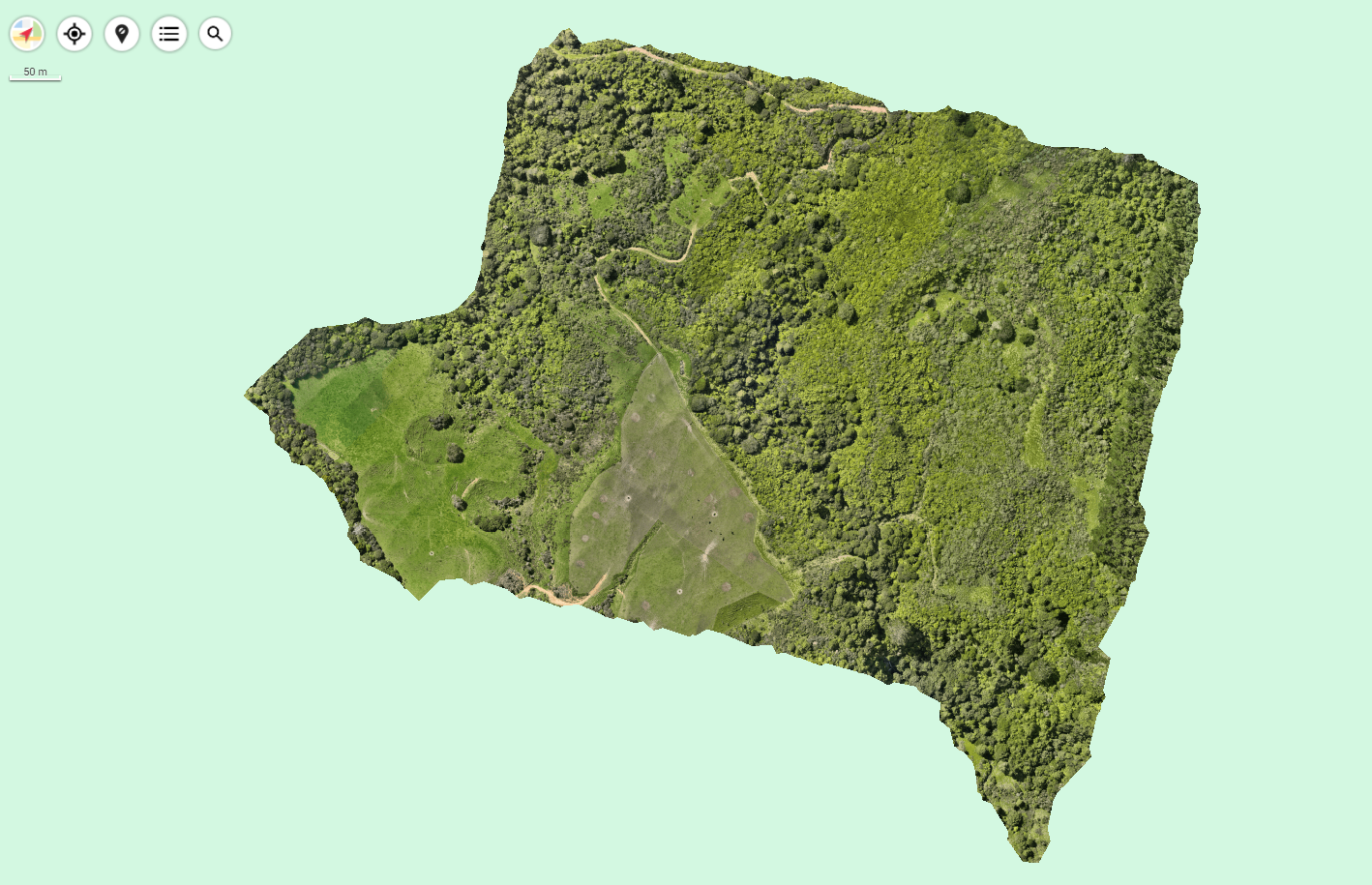
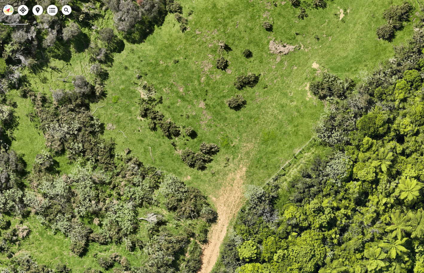
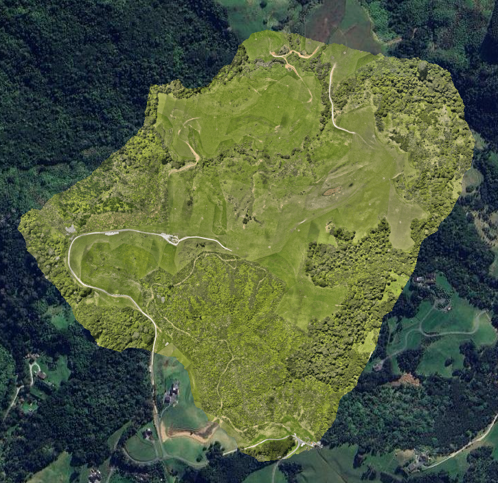
Map Basic is the entry-level mapping package designed for people who need an up-to-date, high-resolution map of their land.
We fly your site with our professional RTK drone system, process the imagery, and deliver a georeferenced orthomosaic that you can open, zoom and use straight away.
This gives you a crystal-clear bird’s-eye view of your property — perfect for general planning, basic decision-making, sharing with your team, or keeping an accurate visual record of your land.
What makes Map Basic valuable?
You get real measurement-true aerial imagery, not Google or LINZ tiles that are months/years out of date
You take the guesswork out of planning — everything is visually clear
You can show consultants, designers or contractors exactly what’s on site right now
If you need to step up later to more analysis, this becomes your foundation dataset
The bottom line:
Map Basic gives you a high quality, modernised, accurate view of your land — fast.
It’s the easiest, most affordable way to get a proper up-to-date map that you actually own and can use.
Ideal for:
Farmers wanting a current map of their paddocks and infrastructure
Property owners or managers doing planning or subdivision pre-work
Real estate and marketing needing high quality, accurate site imagery
Anyone needing a fast, affordable baseline map
Included deliverables:
High-resolution orthomosaic map (GeoTIFF)
Shareable map image (PDF/PNG) for quick reference
Cloud link to access and download all files
Flight logs and metadata for transparency and traceability